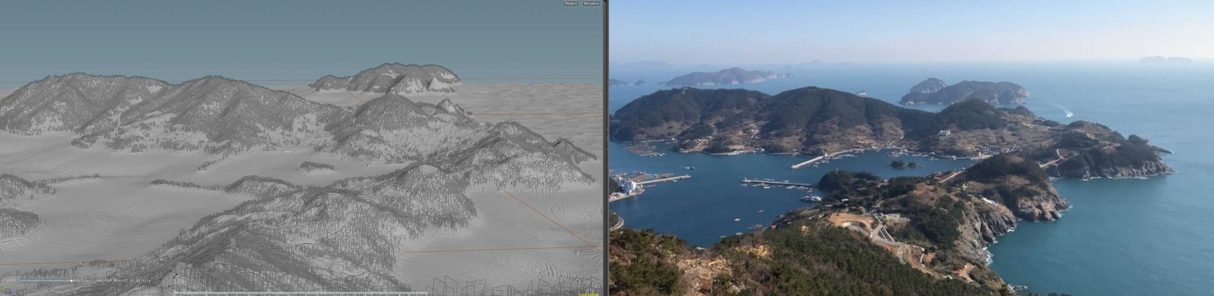
2020 - 욕지도 Metaverse - GIS Dataset to Terrain

Project Summary:
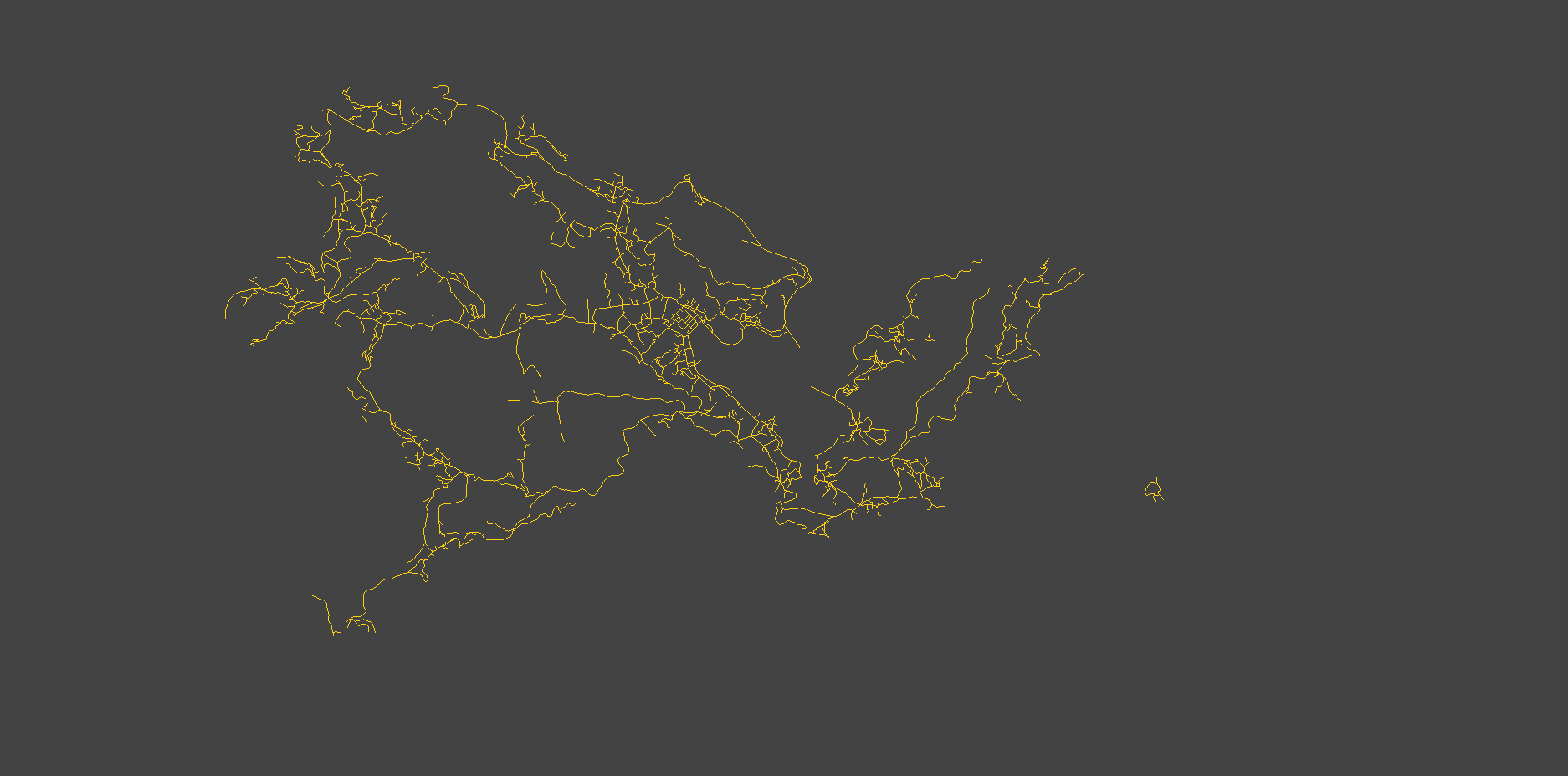
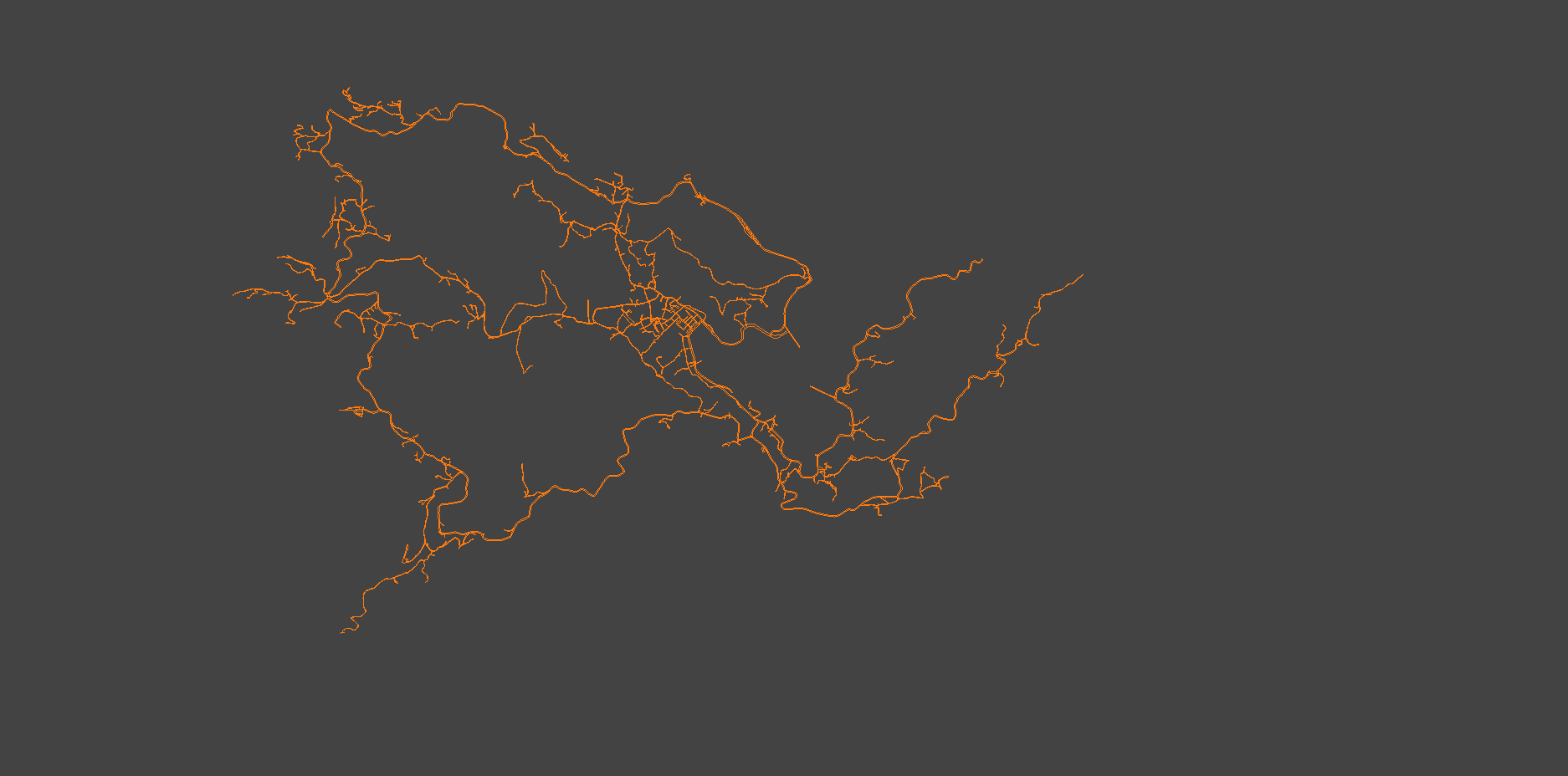
PC app to represent the topology assembly of terrain from GIS 2D data. Video designed to deliver accurate representation of island and surrounding upcoming infrastructure (Offshore Windmill).
In charge:
Modeling / Texturing / Animation and Export to Unity.
Details:
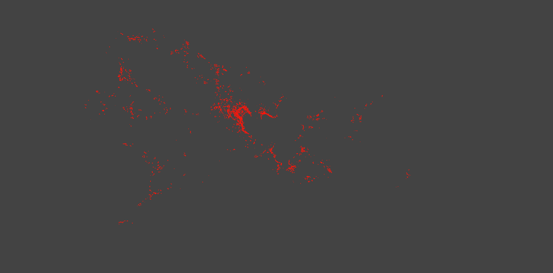
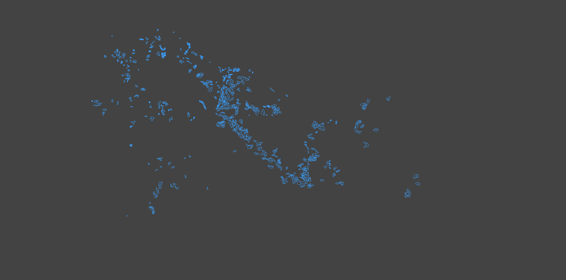
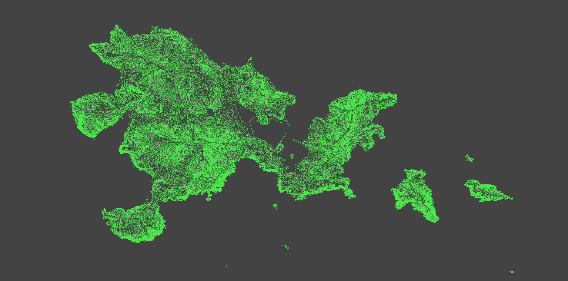
Production Pipeline built on Houdini Nodes with automatic generation of terrain and land cover distribution. Modo modeling cleanup and automation via Python scripting.
Software
#Modo #Houdini #Unity